
By Allison Campbell-Jensen
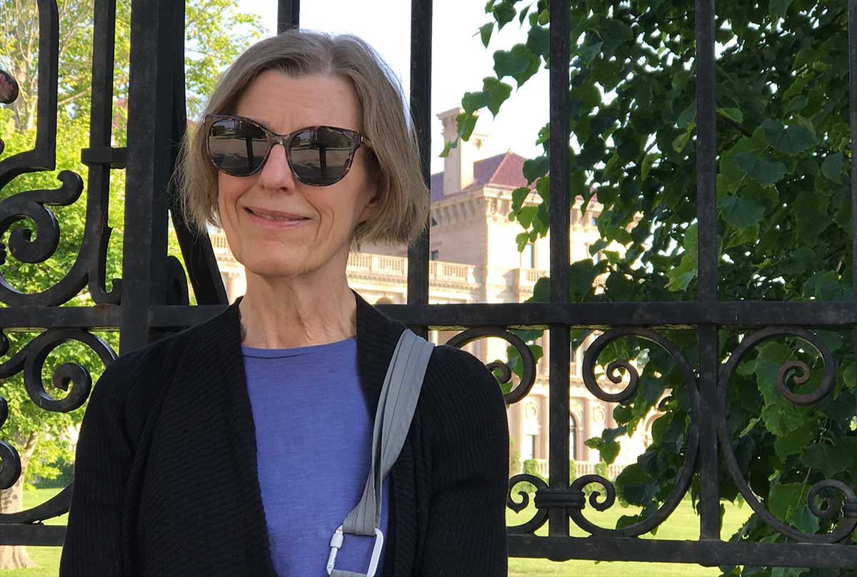
Penny Petersen
As a teen in the 1960s, Penny Petersen saw on the news protesters for civil rights being attacked by police dogs or knocked down by fire hoses in the South. These violently racist reactions against Black people requesting their rights seemed very unfair — and quite distant from her Twin Cities life.
Many years later, however, she would help reveal a hidden racism close to home.
A history detective
Petersen learned to search public records while she worked for a historical consultant. This was a firm that developers and government agencies would hire, for example, when they needed to have property records examined for evidence leading to tax credits — or the possibility of the presence of cultural artifacts where a highway would be built, which would require action.
“I was like a history detective, in a sense,” she says.
Personally fascinated by the hidden history of Minneapolis, Petersen also wrote a book about prostitution along the riverfront. It attracted the attention of Kirsten Delegard, then leading undergraduate student interns at Augsburg College in the Historyapolis Project. They were seeking racial covenants in property deeds that barred anyone non-white from owning or occupying parcels. Petersen describes Delegard’s thoughts as: “If Penny could reconstruct these red-light districts from property records, I bet she could find me some racial covenants.”
Initially, Petersen assumed this quest would be fairly easy. The Homewood neighborhood in North Minneapolis had been identified as an area with racial covenants — but she could not find them in the deeds. Thinking she’d made a mistake, she talked with people who had identified Homewood as having racial covenants.
“They said they didn’t actually look at the deeds,” she says. “They were just told they must be there.”
So when Petersen retired in 2015, she followed a research plan to really dig into property records to seek racial covenants.
“In October, I went to the Hennepin County records and spent six months working there on collecting covenants,” she says of her efforts to create what became the proof of concept for Mapping Prejudice. She looked at some 20,000 deeds. “By April, I had a couple of thousand [racial covenants] and I mailed them off to Kirsten. That was the beginning.”
Seeing is believing
“We were really not that much different from Alabama, except we did not have Colored Only signs, or Whites Only drinking foundations. We did it subtly in these property deeds.”
—Penny Petersen
After Petersen sent her a spreadsheet with over one thousand covenants, Delegard realized that a map was the best way to convey how these racial restrictions blanketed parts of the city. Kevin Ehrman-Solberg, then a graduate student in GIS at the University came on board, as did Ryan Mattke, Librarian at the John R. Borchert Map Library. The Mapping Prejudice team formed in May 2016 in the computer lab of the Borchert Map Library, in the sub-basement of Wilson Library.
“We all agreed in the beginning that this was not research for academics,” Petersen says. “It could be, but that was not our purpose. We wanted to change things.”
With Ehrman-Solberg and Mattke’s expertise, they were able to more efficiently search the database of digital deeds for Hennepin County for likely racial covenants, trained community members to find them, and began to make maps of the data. When the community members read the covenants, they found them blatantly racist, Petersen says.
“They are pretty shocking, but these were legal documents,” she says. “These were ‘respectable’ people.”
Says Petersen of the evidence of structural racism: “You can see it on the map — it’s not something you have to explain for hours.”
It’s clear where Black, indigenous, and people of color could and could not live historically in Hennepin County. And, with redlining by banks, they historically could not borrow towards owning a home, thus preventing them from building up value for the next generation.
“We were really not that much different from Alabama, except we did not have Colored Only signs, or Whites Only drinking foundations,” Petersen says. “We did it subtly in these property deeds. In a way, it was just as violent — not physically but in terms of harm. Maybe more so because you could never quite tell.”
The racial covenants were no longer legal after the federal Fair Housing Act of 1968. Now the Just Deeds coalition of six cities, including the City of Minneapolis, is helping homeowners discharge these racist covenants.
Having mapped Hennepin County, the Mapping Prejudice project has expanded its geographic focus. It hopes to map all the racial covenants in the Twin Cities. Thanks to an NEH grant, it is working with groups in cities across the country to replicate this process.
With more than 300 presentations and thousands of volunteers trained to search in deeds, Petersen thinks that Mapping Prejudice is opening people’s eyes to the reality of racism in the North. And, as her unusual skill set has become linked to a passion, she is hoping the project helps persuade people to move toward a more equitable society.
“Are we really going to change things?” she says. “I’m hoping for the best.”