

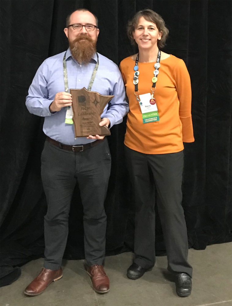
Ryan Mattke accepting the Polaris Award.
Ryan Mattke, head of the John R. Borchert Map Library has received the Polaris Leadership Award from the MN GIS/LIS Consortium at the organization’s annual meeting last month.
In addition, the Libraries’ Mapping Prejudice project received a Commendation from the Governor, which Mattke accepted on behalf of the Mapping Prejudice team.
“Few people have provided the levels of leadership and impact shown by Ryan Mattke as Head of the Borchert Map Library since 2010,” said Will Craig, GIS/LIS Lifetime Achievement Laureate and Associate Director Emeritus at the University of Minnesota’s Center for Urban and Regional Affairs.
The Polaris Leadership Award recognized Mattke for being an active, established leader in the geospatial community and for inspiring and leading the GIS community through his contributions, energy, and creativity.
Mattke’s contributions include:
- Championing the effort to make over 121,000 historical aerial photographs freely available online.
- Leading the Big Ten Academic Alliance Geoportal Project to document and share maps, imagery and data across 12 academic institutions in nine states.
- Co-Directing the Mapping Prejudice Project leading to changes in Minneapolis long range planning and a new state law enabling homeowners to discharge racial covenants from their property deeds.
- Teaching in the University’s MGIS program.
- Chairing the Archiving Workgroup of MN Geospatial Advisory Council.
- Developing a history of GIS in Minnesota, for which he has already collected over 40 hours of interviews and 400 archival documents.
Mapping Prejudice project
The Mapping Prejudice project at the Libraries is documenting the nature and location of racial covenants that were inserted in deeds for residential properties from 1910 to the early 1950s.
The project’s work inspired the drafting and supported the passage of bi-partisan legislation to allow property owners to declare these covenants void, influenced Minneapolis’ comprehensive planning, and has sparked wide discussion on righting past injustice.
The award recipients below were instrumental in driving this project, and credit is also due to the thousands of project contributors.
- John R. Borchert Map Library, University of Minnesota (Ryan Mattke, Project Co-Director)
- Kirsten Delegard, Project Director
- Penny Peterson, Project Records Specialist
- Kevin Ehrman-Solberg, Digital and Geospatial Director
About the MN GIS/LIS Consortium
The Minnesota GIS/LIS Consortium got its start in 1988 as one of the nation’s first forums to communicate and share information among the growing community of environmental and natural resource geographic information system users and data producers in Minnesota.
The Department of Natural Resources (DNR), Land Management Information Center (LMIC), the University of Minnesota’s Center for Urban and Regional Affairs (CURA) and Natural Resource Research Institute (NRRI) along with other key participants, organized an ‘Executive Steering Committee’ to get the effort started.
Support the Libraries
This story demonstrates how the University Libraries are Advancing Leadership and Innovation on campus and beyond. As part of the University of Minnesota’s Driven Campaign, we are building on these strengths in our efforts to raise $18 million to support the Libraries strategic investments. We ask you to join us in Advancing Knowledge and Enriching Lives for those on our campuses, for residents throughout the cities and townships of Minnesota, and for scholars around the globe.
Give now!