

By Karen Carmody-McIntosh
An underground stream runs beneath the Civil Engineering Building on the University of Minnesota’s East Bank, where it floods the basement from time to time.
More than a century ago, it was called Tuttle’s Creek and it flowed above ground, originating from marshes in the Como neighborhood and emptying into the Mississippi River. Due to the process of urban development, many small streams like this were dried up, rerouted, or enclosed and eventually buried. They disappeared from maps once they were no longer open to daylight, but they didn’t cease their function in delivering water to the Mississippi. Unseen, but still active, these basement-flooding rivulets remain part of the Twin Cities watershed.
More of these underground waterways have now been mapped, thanks to the Faculty Research Sprints program — four days for U of M faculty and researchers to benefit from intensive project-based collaboration with teams of librarians and archivists at the University of Minnesota Libraries.
The Research Sprints model, devised by the University of Kansas, is in its first year at the University of Minnesota, and it has already resulted in big gains.
Connecting researchers with Libraries expertise
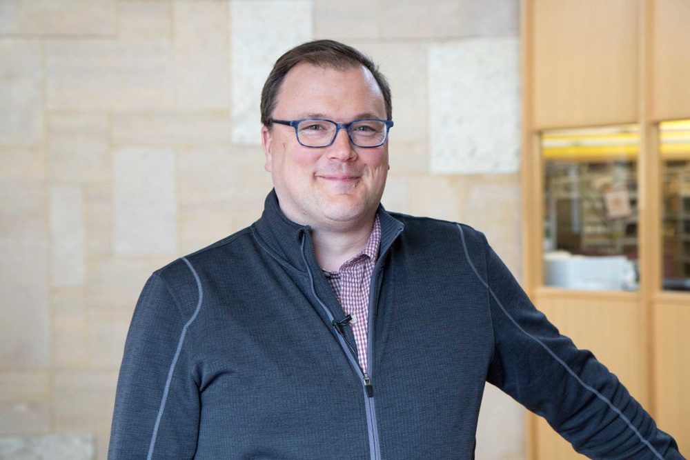
Richard Graves
“We’re not archival researchers. We’re architects and engineers,” said Richard Graves, Director of the Center for Sustainable Building Research. His project to develop a working map of the lost waterways of the Twin Cities is one of seven project proposals that were accepted for the 2017 Faculty Research Sprints.
“The overarching goal is connected to the water research we do to make buildings more sustainable,” Graves said. “A lot of the ways we have designed developments has disconnected them from our landscapes, and in this case, disconnected us from historic watercourses and streams…. We knew there was probably a library that would have the information, but we didn’t know if they were electronic maps and GIS or old historic maps.”
Bringing librarian Ryan Mattke, Director of the Borchert Map Library, onto the project allowed Graves and his researchers to have immediate access to relevant maps. University Archivist, Erik Moore, provided campus maps from the 19th century and field notebooks from the 1870s surveying the Mississippi River near campus. The Libraries’ Mattke and Melinda Kernik — with help from Len Kne, Associate Director of U-Spatial, and Coleman Shepard, geography student — also provided training in the software needed to work with digital maps effectively. The Libraries’ Megan Kocher conducted an extensive lit search to supplement the mapping materials, and Shanda Hunt managed the overall project.
“We are going back to historical maps, starting in the 1840s and ’50s, and using those maps to figure out where these streams used to be, at least, theoretically, and then, using geographic information system (GIS) software to actually map those old streams, so that we can overlay them on current geography,” Mattke said.
Fortunately, many of the historical maps of Minnesota were already digitized and geo-referenced. This saved time, allowing the team to work with them immediately using computer aided-design software to trace and color-code the waterways. By overlaying maps and aligning them by geolocation, the software allowed them to fulfill their project goal for the week and create a map that reveals the changing outlines of waterways that occurred over time from the mid-1800s to present.
Benefiting future research and practice
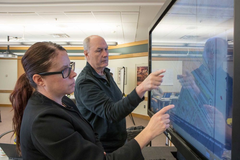
Shanda Hunt and Rich Strong
The map building work that began during Research Sprints can continue to expand now that Graves’ team knows how to find and work with the materials they need.
According to Richard Strong, the project’s Senior Researcher, mapping the locations of the region’s underground waterways has the possibility to benefit ecosystems as well as sustainable building practices.
“Perhaps we can use these streams, that hadn’t been used in the past, as conduits to reinvigorate the hydraulic system of the Twin Cities,” Strong said. “Not only for us, personally, as human beings, but for the whole animal kingdom, too, because there will be a lot more water, a lot more food sources in the landscape, if we do it.”
The information generated by this project will benefit the Libraries, as well. Mattke foresees these data being useful for education and research in the future.
“We often get students who come in and want to know about, either old waterways, old streams, or just the hydrology and the general watersheds of the Twin Cities area. So having created this data already, we can then put that in our data repository and have it available, not just to students here, but to anyone who’s interested.”
For all participants, Research Sprints have been an intense and immersive way to advance project goals while forging new connections among researchers and librarians.
Said Graves: “This is my first real robust connection to the library, discovering a research resource that I didn’t know existed. It’s been fantastic.”
All participants and projects
Karen Mary Davalos, Chicano & Latino Studies
Goal: Design a framework for a relational database and digital archive to support research on Mexican American Art since 1848 End Products: Relational database in Elevator, Metadata schema, Qualtrics survey for research on museum’s metadata practices around Mexican-American art, Gantt chart and long-term project plan in Asana Libraries team: Sarah Carlson, Stephen Hearn, Jennifer Hootman, Lindsay Keating, Cecily Marcus, Colin McFadden, Jason Roy, Deborah Boudewyns, and Ben Wiggins
Kate Derickson, Geography
Goal: Discover and evaluate government and archival data about Gullah/Geechee people of the Southeastern United States, and explore grant options End Product: Identified and cataloged government data, surveyor records, maps, and archival materials on the historical relationship between the state and the Gullah/Geechee people Libraries team: Caitlin Bakker, Melinda Kernik, Alicia Kubas, Ben Wiggins Consulting: Linnea Anderson & Dorothy Berry
Karen Donohue, Carlson School of Management
Goal: Create a secondary research tool for the Masters in Supply Chain Management program’s capstone class End Product: Designed a “choose your own adventure”-style website with Drupal Lite, currently being used for the summer course Libraries team: Kristi Jensen, Caroline Lilyard, Lindsay Matts-Benson, Jenny McBurney, Andrew Palahniuk, Mary Schoenborn Consulting: Shane Nackerud
Colleen Fisher, Social Work
Goal: Experiment with different ways to disseminate her research to the public, the populations she studies, and practitioners who do not have access to scholarly works End Products: Twittergraphic, Infographic, Map, Website Libraries team: Jan Fransen, Jennifer Hootman, Shanda Hunt, Scott Marsalis, Shane Nackerud, Ben Wiggins Consulting: Melinda Kernick, Valerie Collins, Emma Molls, Carolyn Bishoff, John Barneson, and Len Kne
Greta Friedemann-Sanchez, Humphrey School of Public Affairs
Goal: Discover literature relating to the COLPAZ: Mediation and Restorative Justice Procedures in Domestic Violence project evaluating the implementation of Colombia’s 2008 intimate partner violence law End Product: Interdisciplinary & bilingual bibliography of literature & resources (EndNote), Search guides by subject: Archives, Psychology, Public Affairs, Typologies and Conjoint Therapy, & Women’s Studies/Social Sciences Libraries team: Linnea Anderson, Kim Clarke, Jenny McBurney, Amy Riegelman, Mary Schoenborn Consulting: Loren Turner
Richard Graff, Writing Studies
Goal: Preserve and share career-spanning research project “Greek Rhetoric in Situ”, which includes decades of work and massive files End Products: Built a dynamic website to showcase research, Deposit 3D and other multimedia files into the University Digital Conservancy Libraries team: John Barneson, Valerie Collins, Jennifer Hootman, Erik Moore, Shane Nackerud
Richard Graves, Architecture
Goal: Create a map of the hidden & lost waters that lie below the Twin Cities End Product: Literature search and map of the rivers, lakes, streams, and wetlands based on land surveys that date back to pre-1900 which will be submitted to DRUM and ArcGIS Online Libraries team: Shanda Hunt, Melinda Kernik, Len Kne, Erik Moore, Megan Kocher, Ryan Mattke
Is the map available for public viewing? Online GIS link?
Thanks for the great work!
Yes! The online map is available here: http://arcg.is/b9D5K
The GIS data will be available later in the summer via the Data Repository for the U of M: https://www.lib.umn.edu/datamanagement/drum